Hitting the Trail: Granite Mountain

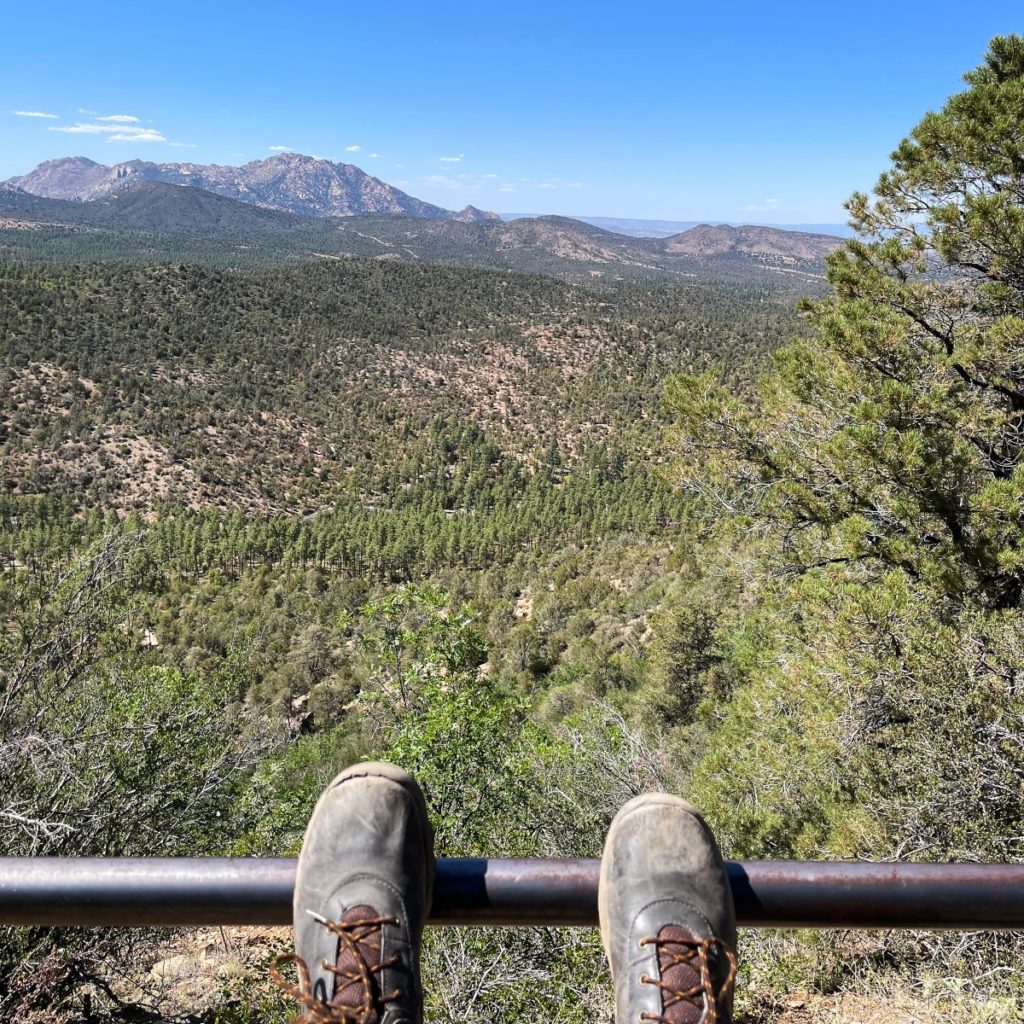
In the network of trails that constitute Prescott’s National Forest, the 7.9 mile Granite Mountain trail is a great option to hike. Driving past the Prescott Walmart and Starbucks, this trailhead is located roughly 20 minutes from campus. I personally enjoy this hike for the peace and quiet it provides, with minimal foot traffic, especially in the scorching heat of the summer season. The breathtaking views you are rewarded with at the top of the mountain aren’t too shabby either.

https://www.instagram.com/tv/CScXXwMHLmD/?utm_source=ig_web_copy_link
Here’s my full hiking vlog on ERAU’s official Instagram account.

Contrary to my previous hike at Thumb Butte, Granite Mountain is quite a long and more rigorous trek; so much so, that I was sweating at the bottom of the hike and chilled by the heavy wind at the highest climax of the path. I prefer Granite Mountain over Thumb Butte simply because Granite Mountain offers more opportunities to climb and explore when reaching the top of the trail, unlike Thumb Butte that is blocked off with signs and fences.

With an elevation of 1,656 ft. and scarce shade, the Granite Mountain trail can be either a relaxing morning hike or the next test in expanding your hiking endurance, depending on your skill level. No matter your abilities, I highly recommend trying out the Granite Mountain trail. Make sure to pack lots of water!

Hitting the Trail: Thumb Butte

No doubt, the town of Prescott is known for its numerous outdoor activities and hiking opportunities.

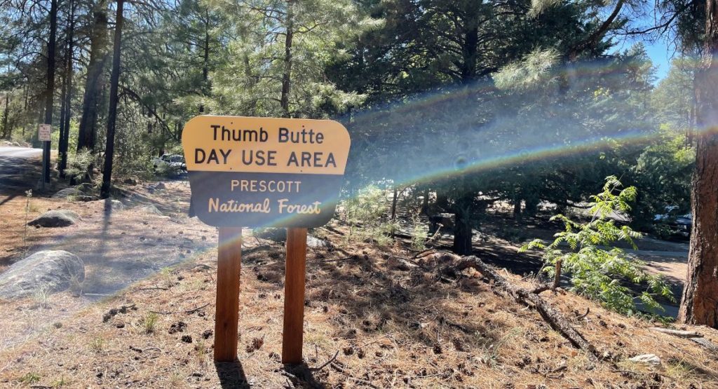
First sign entering the Thumb Butte trailhead, signifying the trail’s parking.

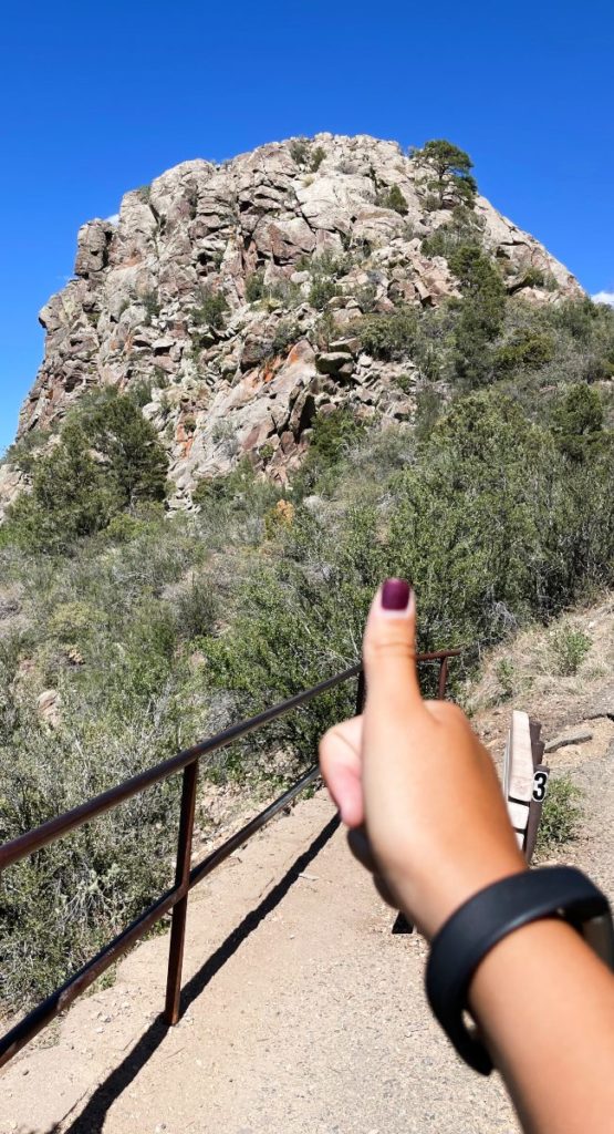
With such a well-known presence that ERAU even named dorms after it (T1 and T2), Thumb Butte is an ideal trail. Located in the Prescott National Forest, Thumb Butte Trail #33 is a moderate hike for people of all hiking backgrounds.

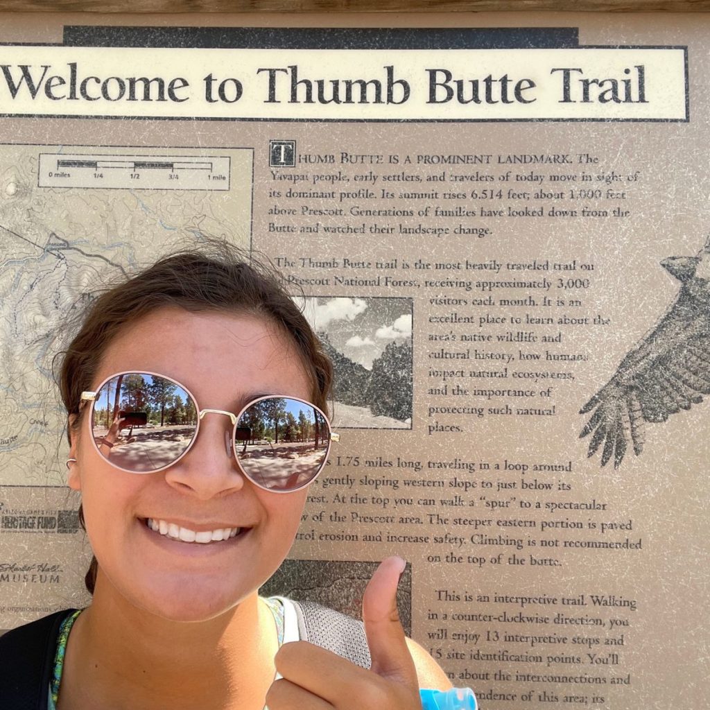
Thumb Butte trail information.

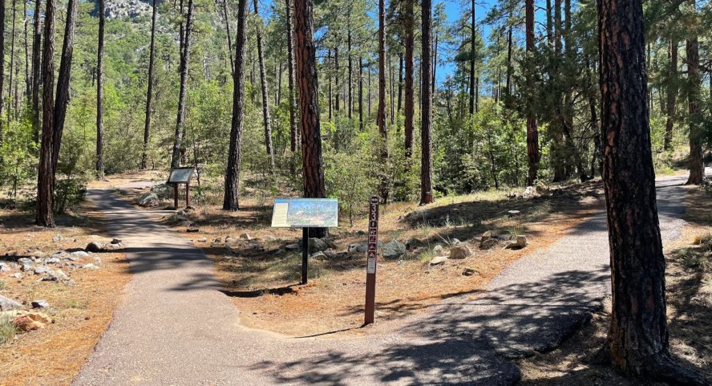
Hearing such appraisal in town, I too ventured out to the Thumb Butte. Once at the trailhead, I was instantly forced to make a decision that would greatly affect my hiking experience. Choosing to hike up the left or right route first, since it is a loop, would either be a more difficult steep climb or a nice gradual incline, respectively. Of course, representing the rebellious youth, I chose to start off with the difficult left side.

The two paths hikers must choose when starting the hike.
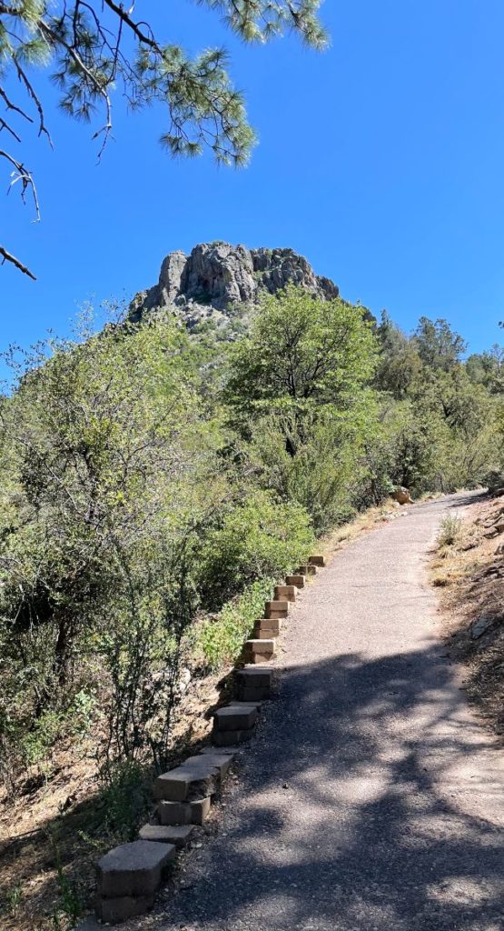
Hiking up the trail.

Honestly, the upwards half of the 2.5-mile loop was the ultimate thigh killer, paralleling the soreness one gets after leg day. The 700 ft elevation gain, fit into one mile of switchbacks, was no simple walk in the forest, pun intended. It was quite the struggle.

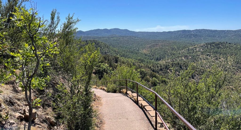
However, it was worth a quick sweat and soreness. The views on the climb up and opportunities to keep climbing higher were superb and greatly appreciated. Being a well-maintained concrete path, it was nice to see a chance to continue up an unbeaten path.

If you are considering hiking “Thumb Butt”, as I humorously call it, ensure you check the forecast prior. Living near the mountain, I have done this hike a couple times a month over the years and have made the mistake of hiking in wet and snowy climates; so, don’t follow my lead unless you enjoy involuntary sliding and sloshy shoes. Overall, as proven by my consistent return to the mountain, I recommend this trail for a day when you have the desire to hike but may not have the time to take on a longer adventure.